Sea level rise after the last ice age
A study involving the LIAG Institute for Applied Geophysics and the Federal Institute for Geosciences and Natural Resources is determining the extent and speed of sea level rise after the last ice age. The results provide important comparative values for future developments due to increasing global warming.
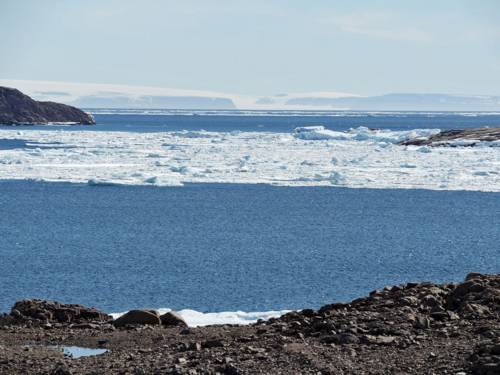
Due to sea level rise in the early Holocene, Doggerland, the bridge between Great Britain and the European mainland, disappeared.
Until now, little was known about the speed and extent of sea level rise during the early Holocene. There was a lack of reliable geological data from this period. In their study, the researchers analysed a unique data set from the area that was once known as Doggerland – a submerged land bridge between Great Britain and the European mainland. The area was flooded as sea levels rose.
Unique data set from the North Sea region
The new scientific findings are based on data from various peat deposits, including those from the German Bight. The dating and thus the chronological classification of the sediments formed the basis for the modelling and was carried out at the LIAG's geochronology laboratory, among other places. Radiocarbon dating, also known as the 14C method, is based on the determination of the radioactive isotope 14C, which decays with a half-life of 5730 years. This isotope is formed in the upper layers of the atmosphere and is absorbed by all living organisms and the oceans.
More knowledge and certainty about sea level rise
By dating and analysing the peat layers and applying modelling techniques, the researchers were ultimately able to show that global sea level rise briefly peaked at more than one metre per century during two phases in the early Holocene. By way of comparison, the current rate of sea level rise on the North Sea coast is around 3 mm per year – equivalent to 30 centimetres per century – and is expected to continue rising. In addition, there has been considerable uncertainty about the total rise between 11,000 and 3,000 years ago. Estimates ranged from 32 to 55 metres. The new study has eliminated this uncertainty and shows that the total rise was approximately 37.7 metres.
‘The results from the analysis of the sediments provide accurate data from the sunken Doggerland for the first time and thus important insights into the interaction between climate, ice melt and sea level rise,’ explains Prof. Dr. Manfred Frechen, co-author and head of research and measurements for the study at the LIAG's geochronology laboratory. ‘These comparative values can serve as a basis for preparing for future changes caused by climate change and the resulting sea level rise.’
Better understanding of future developments
The new findings close a significant knowledge gap between earlier reconstructions of ice sheets and sea level data for this important period. They are essential as reference values for today's climate research. In view of rising greenhouse gas concentrations, climate models predict a sea level rise of up to one metre by 2100 and several metres by 2300.
About LIAG
The LIAG Institute for Applied Geophysics is an independent, non-university research institution based in Hanover. LIAG researchers use applied geophysical methods to explore the subsurface. This is essential for answering socially relevant questions in the areas of groundwater systems, geohazards and georeservoirs as energy sources and energy storage facilities. The focus of research is on exploring the near-surface and usable subsurface and developing appropriate measurement and evaluation methods.
(Published: 26 March 2025)